
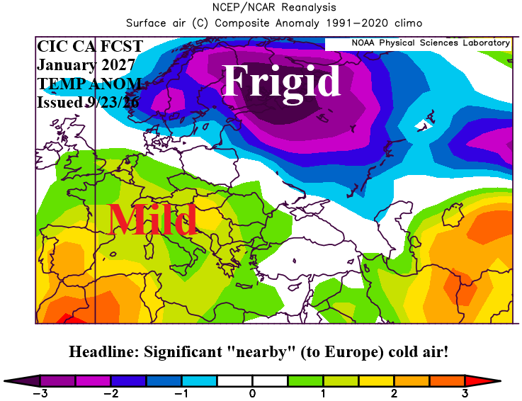
Despite the broader warmth projected across Eurasia, Western Russia operates under distinct local variables that generic seasonal averages often obscure. The Climate Impact Company’s late-September projections highlight that the closing weeks of meteorological autumn 2026 will serve as an active transition corridor. Storm tracks sweeping eastward across Europe will help alleviate severe western droughts before meeting the cold continental surface of the Russian Plain.
As these systems cross the eastern borders of Belarus and the Baltic states, ground temperatures drop rapidly under diminishing solar radiation. The atmospheric collision generates substantial Western Russia snow cover beginning in late November. The presence of even a modest ground snowpack fundamentally shifts local microclimates. Fresh snow reflects incoming solar radiation through high albedo, chilling the boundary layer of the atmosphere and reinforcing sub-zero temperature patterns regardless of high-altitude warm air advection.
Once that reflective surface establishes itself across the Moscow, Tver, and Novgorod oblasts, early winter storms will encounter a self-reinforcing cold layer. This mechanism explains why late November cold snaps can trigger rapid transitions from rain to freezing snow, creating persistent ice layers before heavy winter accumulation begins.


