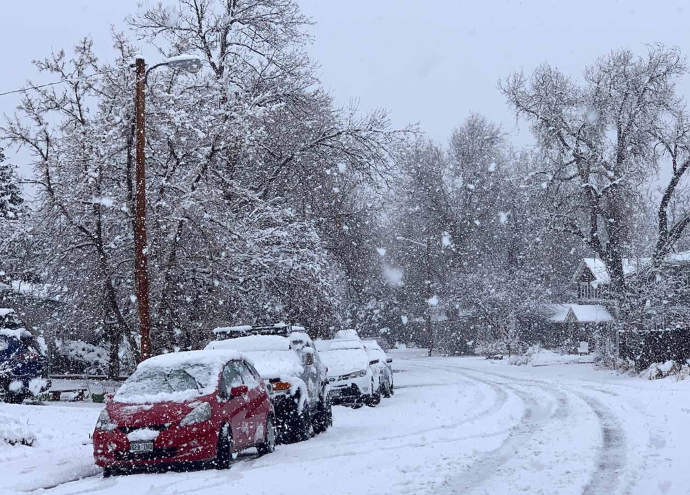
Q1: Why does heavy rain suddenly turn into snow without an immediate surface temperature drop?
A1: Intense precipitation causes dynamic cooling. As dry air aloft evaporates falling rain, it absorbs heat from the air column, lowering the freezing level toward the surface. When rain rates spike, this process pulls cold air down to highway level within minutes.
Q2: How do meteorologists use Doppler radar to tell where rain becomes snow?
A2: Forecasters examine dual-polarization products, specifically the correlation coefficient and reflectivity. Falling snow displays lower reflectivity and irregular shapes, while melting snow (the bright band) lights up with intense echoes before shrinking into fast-falling raindrops near the surface.
Q3: What elevation is safest for mountain driving during an active transition warning?
A3: Corridors sitting at least 1,500 feet below the forecasted freezing level generally stay wet rather than icy. If a storm forecast lists freezing levels at 5,000 feet, any pass above 3,500 feet carries severe risks of slush accumulation, refreezing, and sudden visibility dropouts.